Historical Maps of the United States

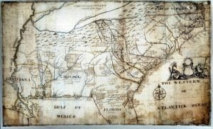
Map of part of North America from Cape Charles to the Mouth of the River Mississipi

Captain John Barnwell, otherwise known as Tuscarora Jack, was a well known frontier settler who was active in the 1711 Tuscarora War. His travels throughout the Southeast enabled him to draw a relatively accurate map of the area of his travels and exploration, some from second hand information, but most from first hand. For researchers of the Southeast this map is critical, and never before seen online in such a large form as to be able to read the hand writing and personal descriptions and historical details as outlined by Barnwell. In order to view this map in a form that made it legible you had to travel to one of the two locations the actual versions exist.

Map of part of North America from Cape Charles to the Mouth of the River Mississipi Read More »

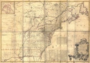
John Mitchell’s Map

Last Updated on September 21, 2016 by Dennis The Mitchell Map remained the most detailed map of North America available in the later eighteenth century. Various impressions (and also French copies) were directly used to help establish the boundaries of the new United States of America by diplomats at the Treaty of Paris (1783) that

John Mitchell’s Map Read More »

De Bry’s Map of 1561

Last Updated on November 27, 2012 by Dennis A map of extraordinary rarity and seminal importance, this is one of the earliest and most influential maps of the American southeast ever published. Drawn by the French artist Jacques Le Moyne de Morgues c. 1565 and published by Theodore de Bry in 1591, this magnificent map

De Bry’s Map of 1561 Read More »

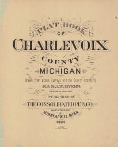
1901 Charlevoix County MI Plat Book

Last Updated on June 21, 2014 by Dennis The 1901 Charlevoix County MI Plat Book, a beautiful historical piece, full of interesting tidbits of information about properties, is now available digitally. Digitization was made possible through a generous donation by the Friends of the Charlevoix Public Library. The scanning work was completed locally, by Village

1901 Charlevoix County MI Plat Book Read More »

1755 Mitchell Map

Last Updated on March 6, 2013 by Dennis In 1755 John Mitchell produced a large map of what was known at that time of the Map of the British and French Dominions. Produced in 8 sheets, this map when laid out covered a space roughly equal to 6.5ft by 4.5 ft. John Mitchell created this

1755 Mitchell Map Read More »

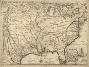
1718 de L’Isle Map

Last Updated on May 3, 2013 by Dennis In 1718 Guillaume de L’Isle published “Carte de la Louisiane” which was based on the 1703 maps “Carte de Mexique et de la Floride” and “Carte du Canada ou de la Nouvelle France,” credited to him, but actually done by his father, Claude. The 1703 maps were

1718 de L’Isle Map Read More »

Scroll to Top