Map

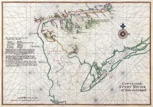
Map of part of North America from Cape Charles to the Mouth of the River Mississipi

Captain John Barnwell, otherwise known as Tuscarora Jack, was a well known frontier settler who was active in the 1711 Tuscarora War. His travels throughout the Southeast enabled him to draw a relatively accurate map of the area of his travels and exploration, some from second hand information, but most from first hand. For researchers of the Southeast this map is critical, and never before seen online in such a large form as to be able to read the hand writing and personal descriptions and historical details as outlined by Barnwell. In order to view this map in a form that made it legible you had to travel to one of the two locations the actual versions exist.

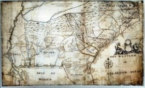
Map of part of North America from Cape Charles to the Mouth of the River Mississipi Read More »

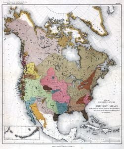
Linguistic Families of American Indians North of Mexico

Swanton’s The Indian Tribes of North America is a classic example of early 20th Century Native American ethnological research. Published in 1953 in Bulletin 145 of the Bureau of American Ethnology, this manuscript covers all known Indian tribes broken down by location (state). AccessGenealogy’s online presentation provides state pages by which the user is then either provided a brief history of the tribe, or is referred to a more in-depth ethnological representation of the tribe and it’s place in history. This ethnology usually contains the various names by which the tribe was known, general locations of the tribe, village names, brief history, population statistics for the tribe, and then connections in which the tribe is noted.

Linguistic Families of American Indians North of Mexico Read More »

Pin It on Pinterest

Scroll to Top