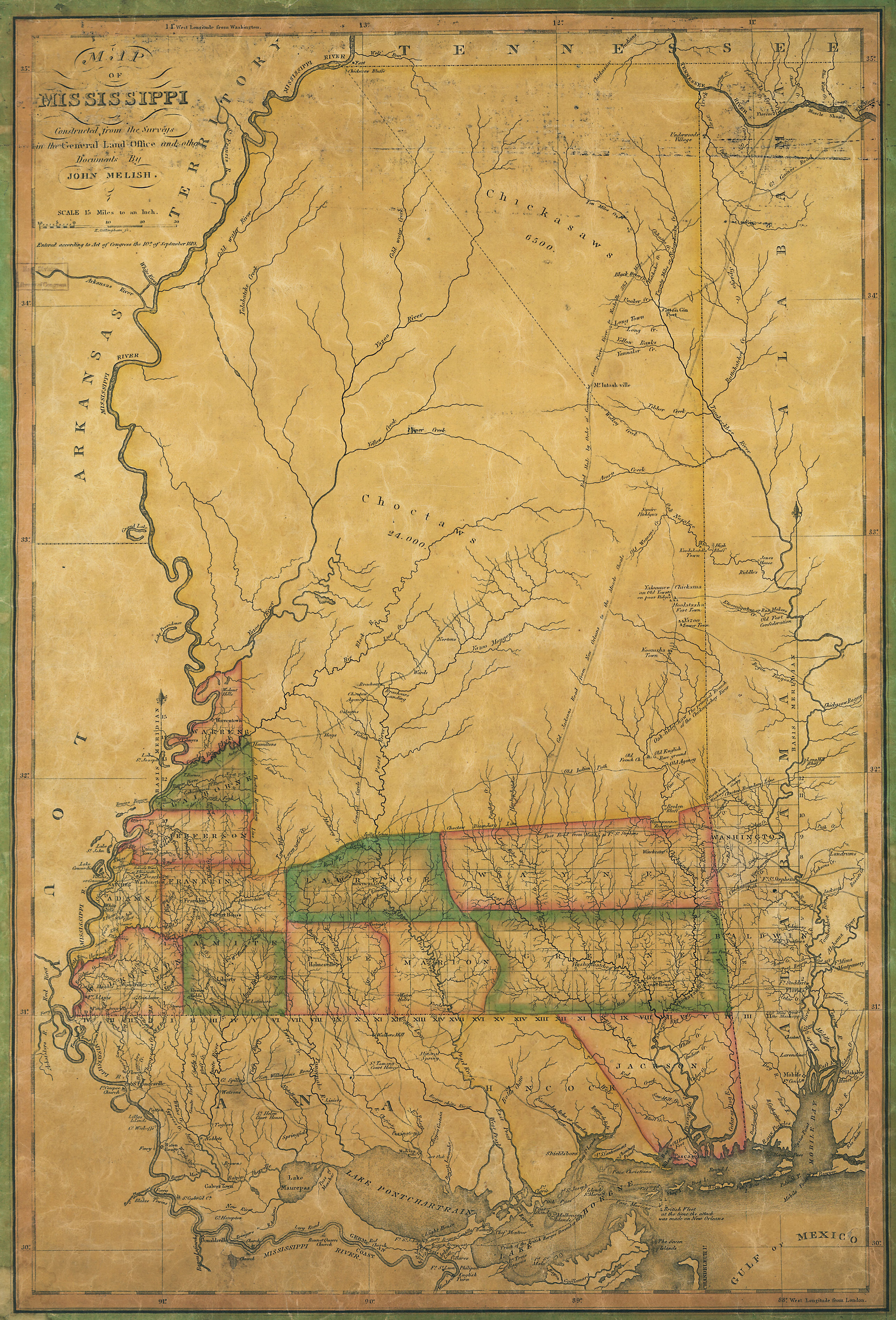
 1820 Melish Map of Mississippi: constructed from the surveys in the General Land Office and other documents
Collection:
Wells, Dr. Samuel James. Choctaw Mixed Bloods and the Advent of Removal. University of Southern Mississippi. 1987. © Dr. Samuel James Wells, 1987. Used by permission.
