The Authenticity and Accuracy of Champlain’s 1632 Map
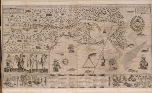
1612 Map of New France

The post discusses discrepancies between Samuel de Champlain’s 1619 text and the 1632 map, questioning the map’s authenticity and suggesting it was likely compiled by others after Champlain’s expedition. Critics agree the map shows signs of foreign compilation, lacking direct supervision from Champlain. The author argues that the starting point of Champlain’s expedition is misrepresented, and the map’s representation of the route is inaccurate compared to the original text. His analysis emphasizes the need to prioritize the text over the map in historical interpretation.
Champlain’s Expedition of 1615 Against the Onondaga

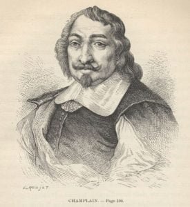
Samuel de Champlain, by E. Ronjat

In 1615, Samuel de Champlain, a key figure in French colonization, journeyed into Huron territory, where the Wendats (or Hurons) resided. This marked the first recorded contact between the French and this Indigenous nation. Champlain aimed to explore the western regions of New France, while also collaborating with Jesuit missionaries to engage with Native Americans. His expedition, alongside Huron and Algonquin allies, set out against the Onondaga, furthering European interests in North America.

Edition of 1632, Compiled by Publisher?

The 1632 edition, believed by some to be compiled by publisher Claude Collet rather than Champlain, contains a map with inconsistencies and errors, including misrepresentations of locations and distances. The map was created long after Champlain’s narratives and is not referenced in his text. Discrepancies, such as the incorrect placement of the Iroquois fort and erroneous naming, further undermine its reliability. Champlain’s stated distances are suspected to be overestimates due to the challenging terrain and conditions faced by the expedition.

Huron and Algonkin joined Champlain on Expedition

In September 1615, the Huron and their Algonkin allies, engaged in conflict with the Iroquois, enlisted Samuel de Champlain for an expedition into enemy territory. Departing from Ca-i-ha-gué, they traversed Lake Simcoe and Lake Ontario, landing in present-day New York. Concealing their canoes, they advanced toward the Iroquois fortifications on Onondaga Lake. Despite facing setbacks, including a failed siege and a difficult retreat due to heavy snow, the expedition provided critical insights into early interactions between European explorers and Indigenous nations.

Wrangell’s Trip Through the Russian River Valley

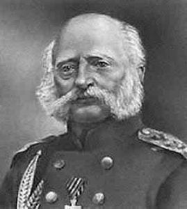
Admiral Ferdinand Petrovich Wrangel

In the summer of 1830, Admiral Ferdinand Wrangel undertook a challenging journey across Siberia to New Archangel, marking his third visit to Russian America. He returned to Russia in 1836 after attempting to expand Russian holdings in California. During his travels, Wrangel described the lifestyle of Native American tribes in Northern California, emphasizing their dependence on foraged food, their social structures, and cultural practices. He noted the tribes’ artistic expressions and contrasts with other Native peoples, highlighting their gentle nature and unique customs.

Montana Settlement, Geology, Exploration, 1728-1862

General View of Mountain Passes

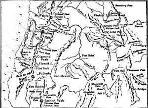
Montana, a land of rugged beauty, harbors mountains, valleys, and rivers that shape its terrain and history. From Mount Hayden, one can witness the origins of the Missouri, Colorado, and Columbia rivers, marking it as the continent’s heart. This geological marvel has been explored since 1728, revealing a wealth of natural resources, including fertile plains and rich mineral deposits like gold and silver. The land’s beauty, alongside its diverse wildlife, set the stage for exploration, settlement, and eventual conflict among indigenous tribes and settlers.