
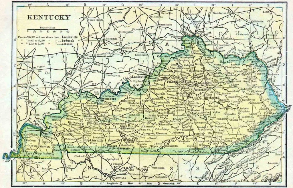
This is the 1910 Kentucky Census Map
Share this:
- Share on Facebook (Opens in new window) Facebook
- Share on X (Opens in new window) X
- Share on Pinterest (Opens in new window) Pinterest
- Share on Tumblr (Opens in new window) Tumblr
- Share on Reddit (Opens in new window) Reddit
- Email a link to a friend (Opens in new window) Email
- Print (Opens in new window) Print
Wonder if the coloring was added after 1910? It looks like a highlighter to me.
Just the printing process used at that time I believe.