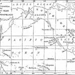
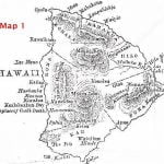
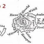
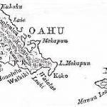
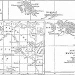
The Hawaiian group consists, as you will see on the map, of eleven islands, of which Hawaii is the largest and Molokini the smallest. The islands together contain about 6000 square miles; and Hawaii alone has an area of nearly 4000 square miles, Maui 620, Oahu (which contains Honolulu, the capital) 530, and Kauai 500. Lanai, Kahoolawe, Molokai, Niihau, Kaula, Lehua, and Molokini are small islands. All are of volcanic origin, mountainous, and Hawaii contains the largest active crater in the worldKilaueaone of the craters of Mauna Loa; while Maui contains the largest known extinct crater, Haleakala, the House of the Suna pit thirty miles in circumference and two thousand feet deep. Mauna Loa and Mauna Kea are nearly 14,000 feet high, as high as Mount Grey in Colorado; and you can not ride anywhere in the islands without seeing extinct craters, of which the hill called Diamond Head, near Honolulu, is an example.

