Mohawk

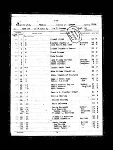
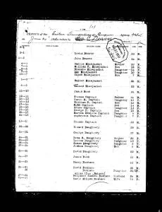
1914 Eastern Shawnee Census

The 1914 census record of the Eastern Shawnee Tribe from the Quapaw Agency was taken on June 30, 1914, in Indian Territory, which is now Oklahoma. The Eastern Shawnee Tribe primarily resides in northeastern Oklahoma, having separated from other Shawnee groups in the 19th century to establish their community in this region. Recognized as a federally recognized tribe, the Eastern Shawnee have their own government and tribal structure. The purpose of the 1914 census was to maintain an official record of the Eastern Shawnee Tribe members as part of the U.S. government’s broader efforts to document Native American populations. This census provides detailed information about individual tribe members, including their names, ages, sex, family relationships, allotment numbers, and roll numbers.

1914 Eastern Shawnee Census Read More »

Cattaraugus Indian Reservation Map and Occupants, 1890

Last Updated on September 28, 2016 by Dennis The Cattaraugus Reservation, in Cattaraugus, Chautauqua, and Erie Counties, New York, as delineated on the map, occupies both sides of Cattaraugus creek. It is 9.5 miles long on a direct east and west line, averages 3 miles in width at the center, dropping at is eastern line

Cattaraugus Indian Reservation Map and Occupants, 1890 Read More »

Scroll to Top