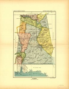
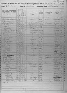
Alabama Land Cessions Map
The Alabama Land Cessions map, created in 1896 by A. Hoen Company for the Bureau of American Ethnology, illustrates land cessions in Alabama up to that year, based on Charles C. Royce’s compilation. It details 16 cessions defined by treaties with various tribes, including the Choctaws, Cherokees, and Chickasaws. Each cession reflects historical agreements regarding territory relinquished to the United States, showcasing the complex interactions between Native American tribes and the federal government over land rights.


