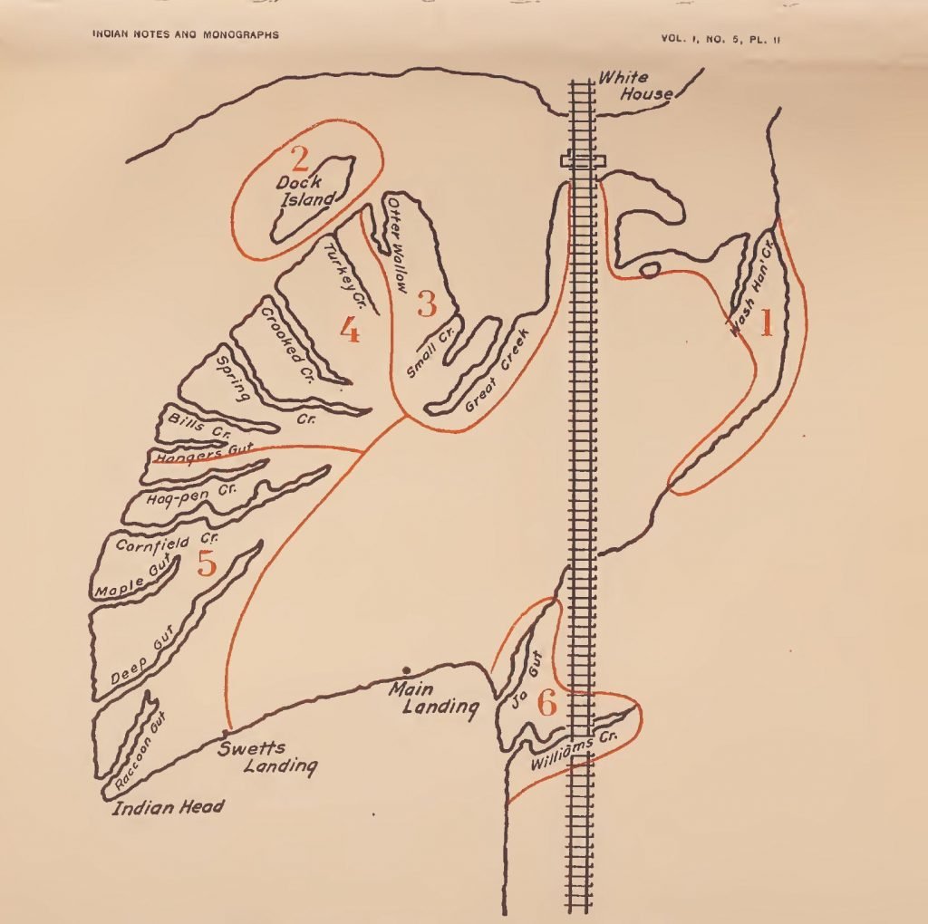
The Pamunkey Indians of today (1894) live at what is known as “Indian-town” which is situated on and comprises the whole of a curiously-shaped neck of land, extending into Pamunkey River and adjoining King William County, Virginia, on the south. The “town,” as it is somewhat improperly called, forms a very small part of their original territory. It is almost entirely surrounded by water, being connected with the mainland by a narrow strip of land. The peculiar protection which is afforded in time of war by its natural position in all probability accounts for the presence of these Indians in this particular spot; and, indeed, I doubt not that to this advantageous situation is due their very existence.
Indian town is about 21 miles east of Richmond, immediately on the line of the York River division of the Richmond and Danville railroad. It consists of about 800 acres, 250 of which are arable land, the remaining portion being woodland and low, marshy ground. This tract was secured to the Pamunkey Indians by act of the colonial assembly and they are restrained from alienating the same.
From a census taken by the writer in 1893 there were found to be 90 Indians then actually present on the reservation. There are, however, about 20 others who spend a part of the year in service in the city or on some of the steamers which ply the Virginia waters. There are, therefore, about 110 Pamunkey Indians now (1894) living.
The population of the “town” has varied little in the last century. Jefferson, writing in 1781, estimated their number to be 100, and Howe, nearly seventy years later, placed it at the same figure.

