Kalispel Indians

Kalispel Indians. On Pend Oreille River and Lake, Priest Lake, and the lower course of Clark’s Fork. They were said to have extended east-ward to Thompson Lake and Horse Plains and to have hunted over some of the Salmon River country, Canada, and were formerly said to have extended to Flathead Lake and Missoula.

Flathead Indians of Bitter Root Valley Montana

The article “Extracts from Senate Executive Document #231 of the 51st Congress, 1st Session concerning Flathead Indian Allotments in Montana, 1889” provides a detailed account of the removal of the Flathead Indians from the Bitter Root Valley to the Jocko Reservation in Montana. This document includes a list of Flathead Indians who consented to the land release, along with the relevant acts and supporting documents. The Bitter Root Valley lands, spread across nine townships, were affected by several legislative acts, starting with the Act of June 5, 1872, and subsequent amendments up to 1898. The document also includes certifications, orders, and agreements related to the land allotments and removal process. Additionally, it references various sources for further information, including the United States General Land Office records, St. Ignatius Mission records, and Missoula County court records.

Jocko Reservation

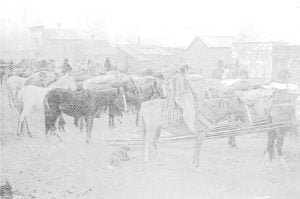
Charlot's band on the March

Flathead Agency Report of Special Agent Horatio L. Seward on the Indians of the Jocko reservation, Flathead agency, Montana, December 1890, and January 1891. Names of Indian tribes or parts of tribes occupying said reservation: Bitter Root, Carlos band, Flathead, Kutenay, Lower Kalispal, and Pend d’Oreille. The unallotted area of this reservation is 1,433,600 acres, or 2,240 square miles. The reservation has been partly surveyed. It was established, altered, or changed by treaty of July 16, 1855 (19 U. S. Stats., p. 075). Indian population 1890: Pend d’Oreilles, Pmt nays, and Flatheads, 1,608; Carlos band and Bitter Root Flatheads, 146; … Read more